Deep Hypercomplex Networks for Spatiotemporal Data Processing
Parameter-efficient models for compact, high-performance processing.

Environmental intelligence · Solar foresight
Deep Forecast builds UAE-born geospatial AI for the MENA region, turning satellite, weather, and ground data into decisions for environmental monitoring and solar-energy operations.
Our portfolio
From the air we breathe to the power a solar plant can generate, Deep Forecast transforms complex Earth-observation data into clear, locally relevant answers.
MENA by design
Deep Forecast solutions are designed for the MENA region, where operating conditions can include intense solar irradiance, dust and aerosol loading, extreme heat, coastal humidity, and uneven observation networks. Our models and interfaces are shaped around regional data and decision needs.
Solution 01
A local environmental intelligence layer built from satellite and ground observations.
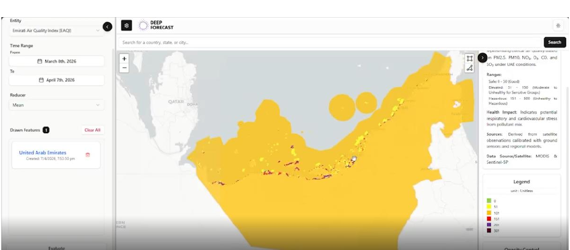
Emirati Air Quality Index
MADAR combines satellite coverage with calibrated ground measurements to map air quality across the UAE, giving teams a searchable view with local context.
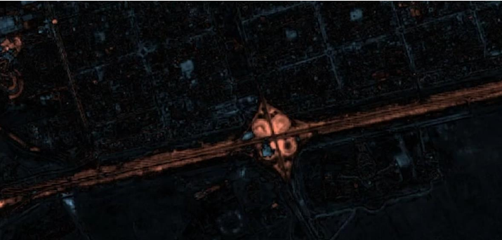
Land-cover change
Satellite imagery is classified into sand, water, vegetation, and built-up areas—then compared over time to highlight where change is happening.

Solution 02 · Solar intelligence
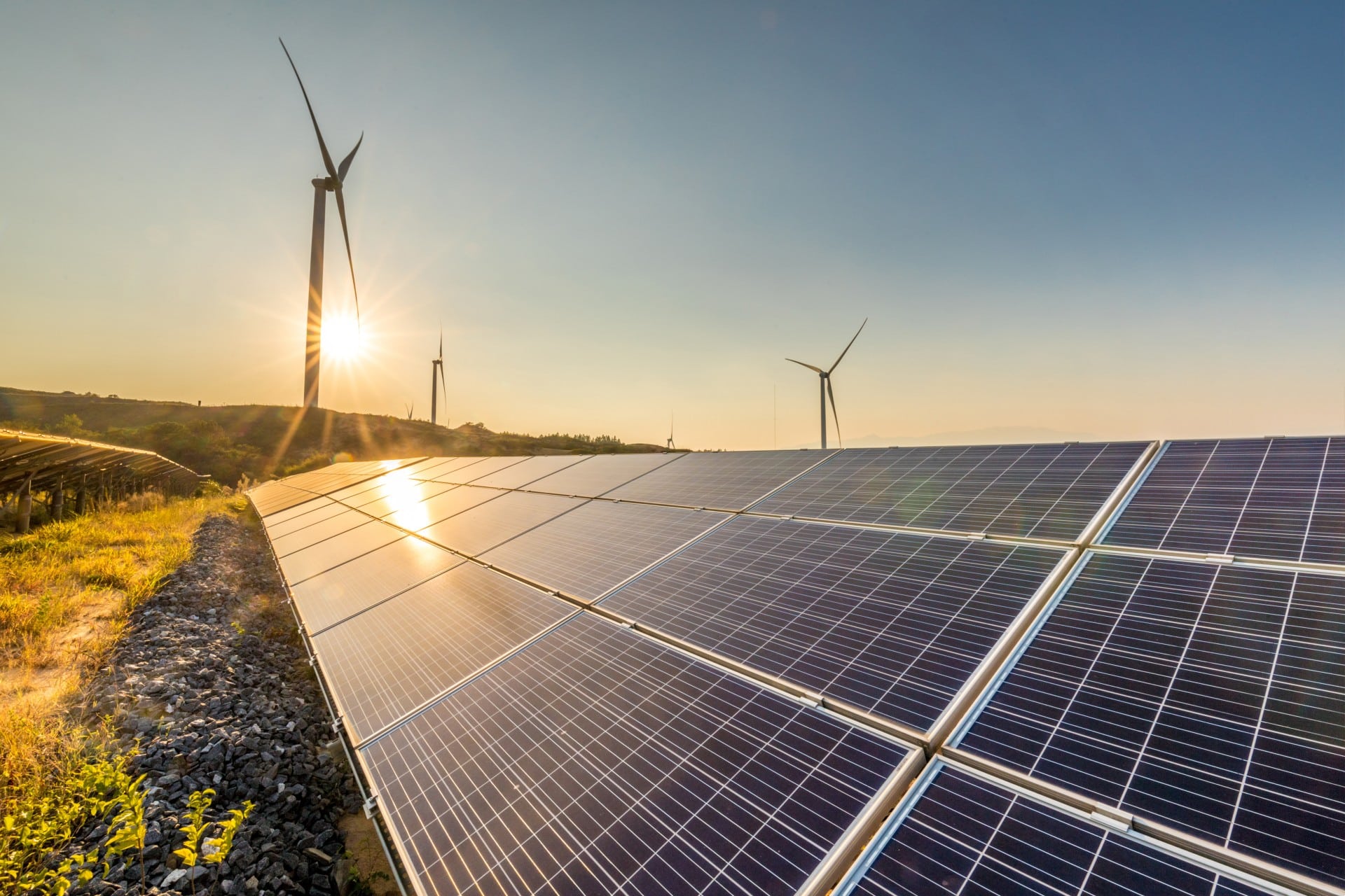
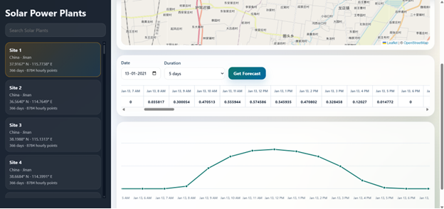
ISHRAQ combines historical plant output, numerical weather prediction, and satellite imagery across operational planning horizons, with workflows designed around MENA solar conditions.
Operator workflow
Select a plant from a list or the UAE map.
Choose next-day, 5–9 day, or longer-range planning.
Combine power history, weather forecasts, and satellite inputs.
Review hourly values and the generation curve.
Selected publications
Parameter-efficient models for compact, high-performance processing.
Efficient remote-sensing segmentation under constrained resources.
Efficient scene understanding for high-resolution Earth imagery.
Abu Dhabi · United Arab Emirates
For partnerships, pilots, and product conversations:
contact@deepforecast.ae